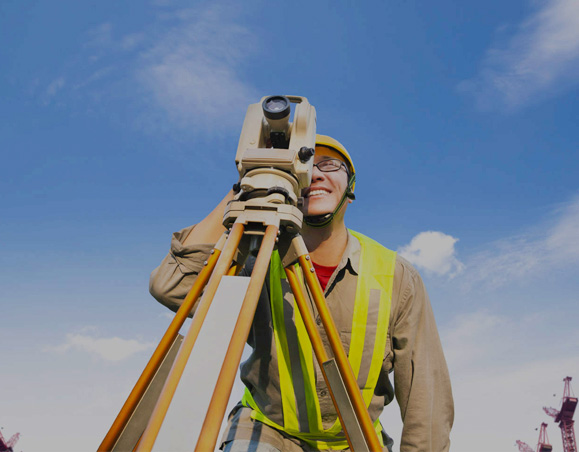
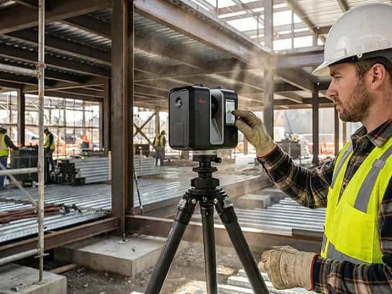
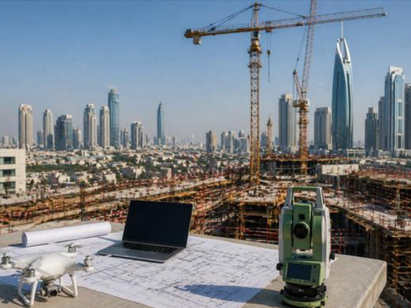
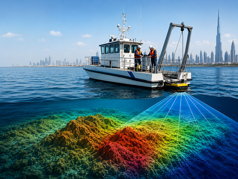
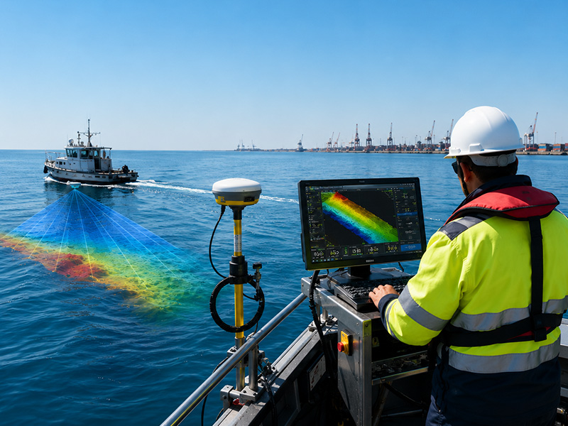
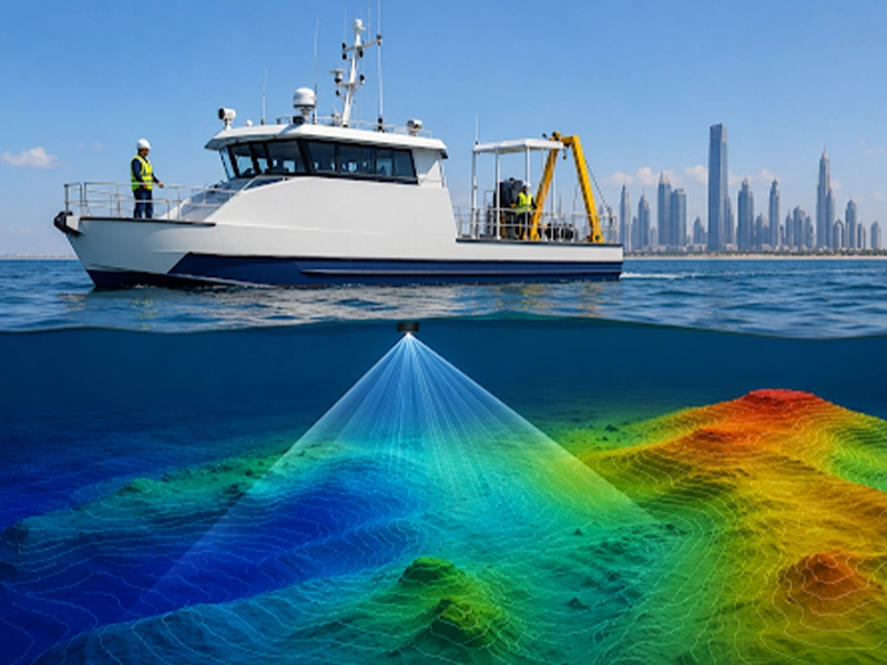
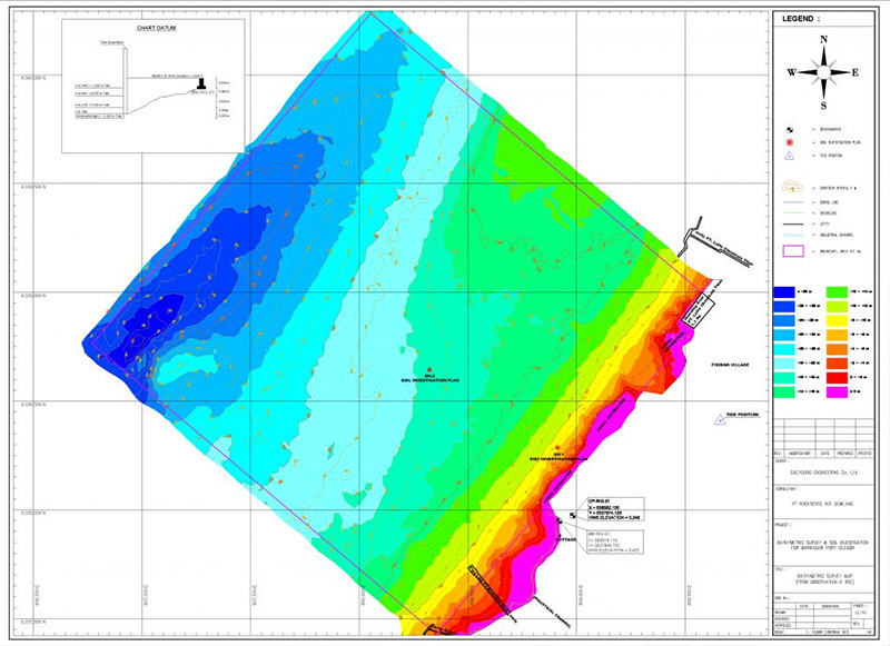
With an aim in our minds to ensure accurate and reliable engineering survey services, Accurate Survey Group was established. The dedication and commitment of the team have aided to consolidate our position at the forefront of the survey with three companies across UAE. Through our exceptional leadership and implication of latest technologies, we deliver superior services whilst emphasizing the quality of the deliverables and safety of our people, operation and the environment. Our goal is to expand our services further and to provide our clients with innovated and integrated solutions.
Anil Kumar
Director of Accurate Survey Engineering
Anil Kumar P.R is the Director of Accurate Survey Engineering with over 20 years of experience in the surveying and engineering industry. He specializes in delivering accurate and reliable survey solutions, including topographic surveys, GIS mapping, and advanced surveying technologies, supporting a wide range of construction and infrastructure projects.
Overhead power lines are critical components of electrical infrastructure, connecting power generation, transmission, and distribution networks across different locations. Because these lines operate in open environments and may extend across large areas, accurate information about their position, height, clearance, condition, and surrounding environment is important for planning, inspection, maintenance, and infrastructure development. An OHL survey, […]
Yes, 3D laser scanning can help identify certain structural problems, particularly those that appear as measurable changes in the shape, position, alignment or geometry of a structure. However, it is not a standalone method for diagnosing every type of structural defect. By providing highly detailed measurements of visible surfaces, 3D laser scanning can help identify […]
Dubai’s construction sector involves complex building, infrastructure and development projects where accurate site information is essential for keeping work on schedule. Surveying provides the spatial data required for planning, design, setting out and construction coordination. However, surveying problems do not always result from measurement errors alone. Delays can also occur when the survey scope is […]
Construction projects in Dubai involve more than following architectural and structural drawings. At several stages, the measurements and positions established on site need to be independently checked before the project can move forward. This is where a third-party surveyor in Dubai can play an important role. Unlike a survey team working directly for the contractor, […]
When inspecting a roof, tower, bridge, building, power line, or other large structure, reaching every area safely can be difficult using conventional inspection methods. A professional drone inspection provides a practical way to capture detailed aerial imagery and visual data from areas that may be difficult or hazardous to access manually. But what exactly does […]
Hiring a bathymetry service is not simply about finding a company that can measure water depths. The survey data may be used to plan dredging work, design marine structures, assess navigation channels, calculate seabed volumes, plan offshore installations, or monitor changes in underwater terrain. For these applications, the quality and suitability of the survey data […]
Bathymetry surveys are used to measure water depth and map the shape and features of the underwater terrain. From ports and harbours to rivers, reservoirs, dredging sites and offshore infrastructure, accurate seabed data is essential for planning, construction, navigation, environmental monitoring and marine engineering. However, not every project requires the same type of bathymetric survey. […]
When planning a marine, coastal, dredging, or infrastructure project, one of the first questions clients often ask is, “How long does a bathymetry survey take?” While it may seem like a straightforward question, the answer depends on several project-specific factors. The duration of a bathymetric survey is influenced by the size of the survey area, […]
Completing a bathymetric survey is only one part of understanding an underwater site. The real value comes from what happens after the fieldwork when thousands or even millions of depth measurements are processed, corrected, checked, mapped, and converted into information that engineers, consultants, contractors, environmental specialists, and project owners can actually use. This information is […]
One of the most common questions asked by developers, consultants, contractors, and property owners is: “Is BIM mandatory for construction projects in the UAE?” The short answer is not for every construction project. While there is no single nationwide regulation that makes Building Information Modeling (BIM) compulsory across all developments, many government authorities, public sector […]