

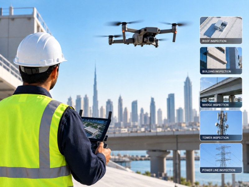
When inspecting a roof, tower, bridge, building, power line, or other large structure, reaching every area safely can be difficult using conventional inspection methods. A professional drone inspection provides a practical way to capture detailed aerial imagery and visual data from areas that may be difficult or hazardous to access manually.
But what exactly does a professional drone inspection include?
A drone inspection is more than simply flying a drone around a structure and taking photographs. A properly planned inspection typically involves project assessment, flight planning, aerial data collection, visual review, data processing, and reporting based on the inspection requirements.
Table of Contents
ToggleWhat Is a Professional Drone Inspection?
A professional drone inspection uses an unmanned aircraft system (UAS) equipped with cameras or other suitable sensors to capture aerial images and data from a structure, site, or asset. The approach can be useful for inspecting areas such as:- Roofs and building exteriors
- Bridges and elevated structures
- Towers
- Power lines
- Industrial assets
- Commercial and residential buildings
- Other difficult-to-access structures
What Is Included in a Professional Drone Inspection?
A professional inspection can include several stages, from initial planning to the delivery of inspection information.1. Initial Site and Inspection Requirement Assessment
The process generally begins with understanding what needs to be inspected and why. The inspection team may review:- The type and size of the structure
- Areas that require visual inspection
- Known defects or areas of concern
- Accessibility and site conditions
- Required inspection coverage
- Expected deliverables
- Project-specific safety requirements
2. Inspection and Flight Planning
Before the drone takes off, the inspection team plans the flight based on the site and inspection objectives. Planning may include:- Defining the inspection area
- Identifying difficult-to-access locations
- Establishing suitable flight paths
- Determining required image coverage
- Reviewing potential site obstacles
- Planning safe take-off and landing areas
- Considering applicable flight permissions and site requirements
3. High-Resolution Aerial Image Capture
One of the main components of a drone inspection is the collection of aerial imagery. The drone can capture images and video of areas that may be difficult for inspection personnel to access directly. Depending on the project, imagery can be collected from different angles and distances to provide a clearer view of the asset. For example, an inspection may focus on:- Roof surfaces
- Building façades
- Structural elements
- Towers and elevated components
- Power line infrastructure
- Bridge components
- Industrial assets
4. Detailed Visual Inspection of the Captured Data
After data collection, the captured imagery can be reviewed to identify visible conditions or areas requiring further attention. Depending on the asset and inspection objective, the review may help identify visible signs such as:- Surface damage
- Cracks or deterioration
- Corrosion
- Wear and tear
- Damaged components
- Water-related damage or staining
- Surface defects
- Other visible abnormalities
5. Coverage of Hard-to-Reach Areas
A major advantage of drone-based inspection is its ability to capture visual information from elevated or difficult-to-access locations. For example, inspecting a high-rise façade, tower, roof, bridge component, or other elevated structure may otherwise require additional access equipment or personnel working at height.Drone-based data collection can reduce the need for physical access to certain areas, depending on the site and inspection requirements. However, drones do not replace every form of physical inspection. If a project requires hands-on testing, material sampling, structural testing, or other specialist assessment, additional inspection methods may be required.
6. Image and Data Processing
The captured images and data can be organised and processed according to the requirements of the project. This may involve:- Reviewing captured imagery
- Organising inspection photographs
- Identifying relevant areas of concern
- Selecting representative images
- Processing collected aerial data
- Preparing inspection documentation
7. Inspection Documentation and Reporting
A professional drone inspection should provide useful information rather than simply a collection of photographs. Depending on the agreed scope, the final documentation may include:- Inspection photographs
- Annotated images
- Areas of concern
- Visual observations
- Inspection findings
- Site or asset documentation
- A summary of the inspection
What Can a Drone Inspection Help Identify?
Drone inspections can provide useful visual information about the condition of accessible surfaces and components. For example, they can help identify visible:Roof Issues
Drone imagery can help inspect roof surfaces for signs of damage, deterioration, wear, or other visible conditions.Building Exterior Issues
High-resolution aerial imagery can provide a closer view of façades and other external building elements without requiring inspection personnel to physically access every elevated area.Tower and Infrastructure Conditions
Towers and other elevated structures can be visually inspected from multiple viewpoints to document their external condition.Bridge Conditions
Drone imagery can provide visual documentation of bridge components and difficult-to-access areas, subject to site conditions and the inspection scope.Power Line Infrastructure
Aerial inspection can provide visual information about overhead power infrastructure and associated components.What Are the Typical Deliverables?
The deliverables from a drone inspection depend on the project requirements. A typical project may include some combination of:- Aerial Images: High-resolution photographs captured during the inspection.
- Inspection Video: Video footage where required for visual documentation.
- Annotated Images: Selected images highlighting visible areas of concern.
- Inspection Report: A structured summary of observations and relevant inspection information.
- Processed Aerial Data: Additional processed data where specifically required as part of the project scope.
Drone Inspection vs. Drone Survey: What’s the Difference?
Drone inspection and drone surveying are related but serve different purposes. A drone inspection primarily focuses on visually assessing the condition of an existing structure, asset, or component. A drone survey, on the other hand, is generally focused on collecting spatial or geographic information for applications such as mapping, topographic surveys, terrain modelling, or 3D reconstruction. For example:| Drone Inspection | Drone Survey |
|---|---|
| Focuses on asset or structural condition | Focuses on spatial and geographic data |
| Captures visual inspection imagery | Captures surveying and mapping data |
| Used to identify visible defects or deterioration | Used for mapping, measurements, and modelling |
| Commonly used for roofs, buildings, towers, bridges and assets | Commonly used for land, construction sites, infrastructure and terrain |
| Deliverables may include inspection images and reports | Deliverables may include maps, models, point clouds or survey data |
When Should You Consider a Professional Drone Inspection?
A drone inspection may be useful when:- A structure contains difficult-to-access areas
- A large area needs visual documentation
- Elevated inspection areas are involved
- Regular asset condition monitoring is required
- A preliminary visual assessment is needed
- Traditional access methods may be time-consuming
- Project stakeholders require detailed aerial documentation
Why Professional Planning Matters
The quality of a drone inspection depends on more than the drone itself. Professional inspection planning helps ensure that:- The required areas are covered
- Suitable imagery is captured
- Flight operations are properly planned
- Inspection data is organised
- Relevant findings are documented
- Deliverables match the project requirements
Choosing the Right Drone Inspection Scope
Not every project requires the same level of inspection. Before starting, clients should clarify:- What asset needs to be inspected?
- Which areas require inspection?
- What type of visual information is required?
- Are there known defects or problem areas?
- What final deliverables are needed?
- Will the inspection require additional specialist testing?
Get Professional Drone Inspection for Your Project
Every inspection project has different requirements. The type of asset, areas that need to be assessed, level of detail required, and expected deliverables can all influence how the inspection is planned and carried out.At Accurate Survey Engineering, drone-based inspection can support the visual assessment and documentation of structures and assets where conventional access may be challenging. By combining planned aerial data collection with detailed visual documentation, our team can help clients obtain a clearer view of areas that may otherwise be difficult to inspect.
Whether you are assessing a building exterior, roof, tower, bridge, power line, or another difficult-to-access asset, the inspection scope can be defined around your project requirements.
Looking for professional drone inspection support?
If you need professional support for inspecting difficult-to-access structures, explore our professional drone inspection services to understand the available inspection solutions.Frequently Asked Questions
A professional drone inspection can include pre-inspection planning, flight planning, aerial image and video capture, visual assessment of the collected data, data processing, and inspection documentation. The exact scope and deliverables depend on the asset and the client's requirements.
Drone inspections can be used for a variety of structures and assets, including buildings, roofs, bridges, towers, power lines, and other difficult-to-access areas. The suitability of drone inspection depends on the site conditions and inspection objectives.
Drone imagery can help identify visible signs of defects or deterioration, such as cracks, corrosion, surface damage, wear, and damaged components. However, a visual drone inspection does not necessarily replace physical testing or specialist structural assessment where these are required.
Depending on the agreed project scope, deliverables may include high-resolution aerial photographs, inspection video, annotated images, identified areas of concern, visual observations, and an inspection report.
Drone inspection primarily focuses on visually assessing the condition of an existing structure or asset. Drone surveying generally focuses on collecting spatial data for applications such as mapping, measurements, topographic surveys, and 3D modelling.
Yes. Drones can capture aerial imagery of many elevated or difficult-to-access areas without requiring inspection personnel to physically reach every location. The actual coverage depends on the structure, site conditions, safety requirements, and applicable flight restrictions.
Not necessarily. Drone inspection is particularly useful for visual assessment and documentation. Where a project requires hands-on examination, material testing, sampling, or other specialist investigations, additional inspection methods may be necessary.