X
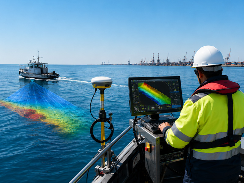
Bathymetry survey technician using sonar equipment to map the underwater seabed

What Are the Different Types of Bathymetry Surveys?

Bathymetry surveys are used to measure water depth and map the shape and features of the underwater terrain. From ports and harbours to rivers, reservoirs, dredging sites and offshore infrastructure, accurate seabed data is essential for planning, construction, navigation, environmental monitoring and marine engineering. However, not every project requires the same type of bathymetric survey. […]
Read more
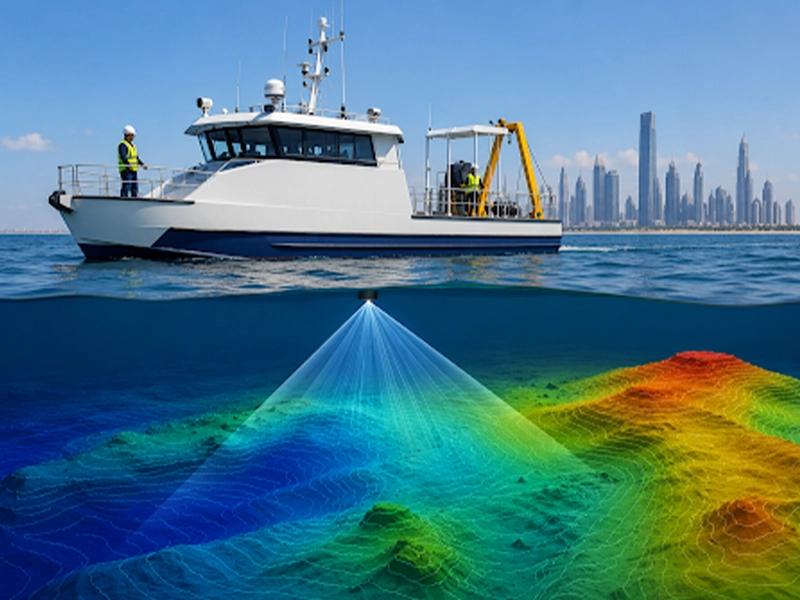
Bathymetric survey vessel collecting underwater depth measurements

How Long Does a Bathymetry Survey Take?

When planning a marine, coastal, dredging, or infrastructure project, one of the first questions clients often ask is, “How long does a bathymetry survey take?” While it may seem like a straightforward question, the answer depends on several project-specific factors. The duration of a bathymetric survey is influenced by the size of the survey area, […]
Read more
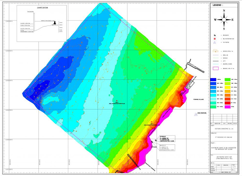
Bathymetry survey report with seabed contours

What Should I Expect in a Bathymetry Survey Report?

Completing a bathymetric survey is only one part of understanding an underwater site. The real value comes from what happens after the fieldwork when thousands or even millions of depth measurements are processed, corrected, checked, mapped, and converted into information that engineers, consultants, contractors, environmental specialists, and project owners can actually use. This information is […]
Read more
Shopping Cart (0 items)