Solutions for
Engineering


1
+
Years experience
1
+
Client Satisfaction

1
+
Completed Projects

1
+
Team Members
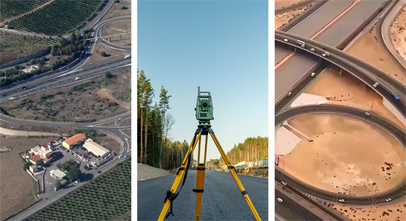
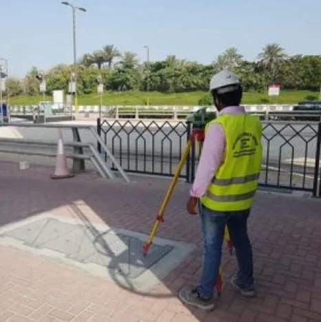
Topography Survey
Topographic surveying is the process of determining…
01
Topography Survey
Topographic surveying is the process of determining the positions, both on plan and elevation.
Stake Out Survey
Stakeout surveying is setting and marking the…
02
Stake Out Survey
Stakeout surveying is setting and marking the positions of various points on a construction site that the architect or engineer has predetermined.

Underground Utility Detection Survey
GPR is a geophysical method which emits…
03
Underground Utility Detection Survey
GPR is a geophysical method which emits electromagnetic energy into the ground and it may be reflected or refracted back to the surface
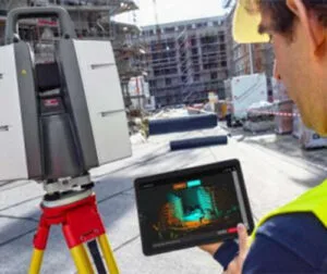
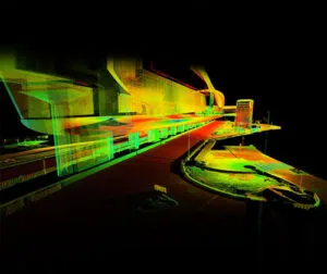
3D Laser Scanning
Leica ScanStation 3D laser scanners are used…
04
3D Laser Scanning
Leica ScanStation 3D laser scanners are used for capturing 3D geometry of civil infrastructure,
Mobile Mapping
Mobile mapping is the process of collecting…
05
Mobile Mapping
Mobile mapping is the process of collecting geospatial data by using a mobile vehicle equipped with a laser, GNSS, LiDAR-system, radar, photographic device, or any number of remote sensing devices.

Uav Drone/Aerial Survey
Drone-based surveying (or mapping) uses unmanned aerial…
06
Uav Drone/Aerial Survey
Drone-based surveying (or mapping) uses unmanned aerial vehicles (UAVs) to collect spatial data from the air.
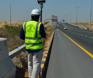
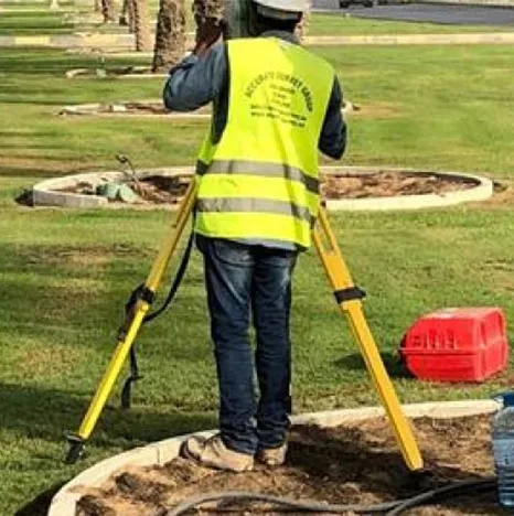
Monitoring Survey
A monitoring survey is an action taken…
07
Monitoring Survey
A monitoring survey is an action taken to see if or how far a building or structure has moved over time.
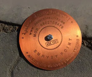
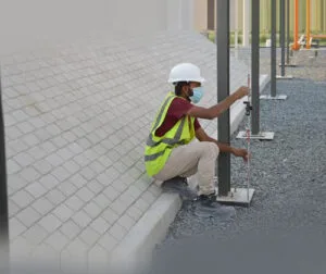
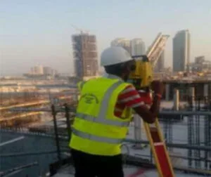
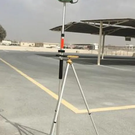
Control Point Survey
A surveying control point is a mark…
08
Control Point Survey
A surveying control point is a mark or monument that has an established horizontal and vertical position by way of being surveyed and is identifiable on the ground.
Topography And Infrastructure
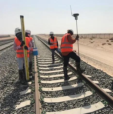
Rail

Hydrographic Survey
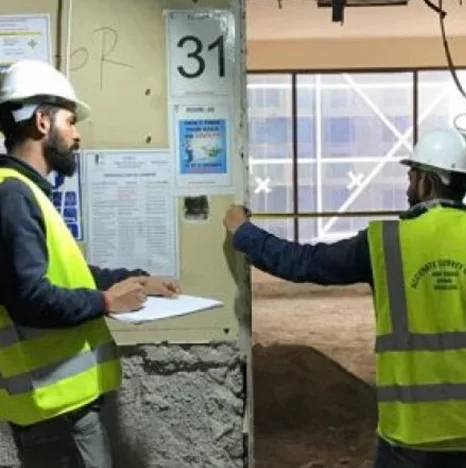
Building Projects

Structural & Architectural As-built
Establishment Of Control Points
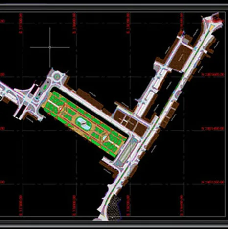
Design & Drafting
Settlement Monitoring Survey