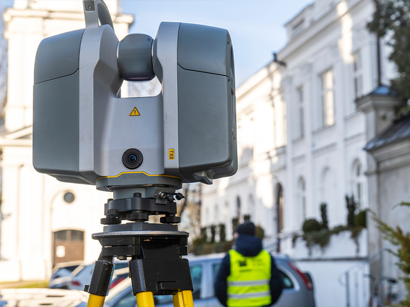
What is 3D Laser Scanning?
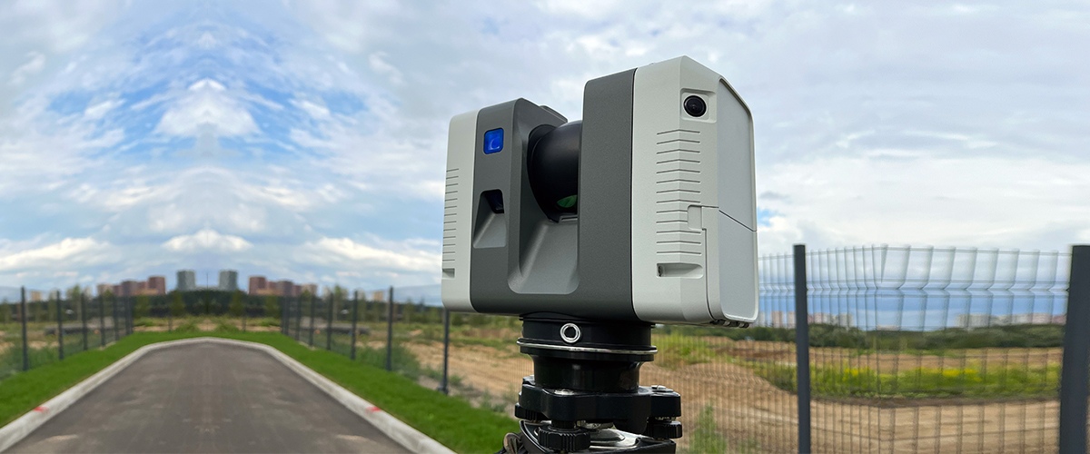
3D laser scanning (also called terrestrial laser scanning or LiDAR in some contexts) uses laser pulses to measure the distance between the scanner and surfaces, capturing millions of 3-D data points in very short timeframes. These point clouds form a digital twin of the physical space. Once captured, the raw data is processed, registered, cleaned and delivered in formats compatible with CAD, BIM or survey workflows, enabling everything from as-built modelling, volume calculations, clash detection through to heritage survey, infrastructure monitoring and more.
Why 3D Laser Scanning Matters?
Here are the major benefits when integrated within a modern survey practice such as ours:- High accuracy & fidelity: 3D scanning gives millimetre-level accuracy in many cases, dramatically improving over manual measurement methods.
- Faster turnaround: Large and complex sites that might take days or weeks with conventional survey methods can be captured in hours or a few days.
- Comprehensive documentation: Because scanning captures everything within line of sight – surfaces, geometry, hidden features, you often avoid the need for repeat visits.
- Better integration with digital workflows: The point cloud outputs can feed directly into BIM, CAD or AR/VR systems, supporting advanced downstream processes like clash detection or digital twin creation.
- Risk mitigation & cost-savings: By capturing as-built conditions accurately, you reduce rework, RFIs, layout conflicts and hence cost overruns.
Applications of 3D Laser Scanning Services in UAE
3D Laser Scanning Services are transforming how engineering, construction, and infrastructure projects are executed in the UAE. The technology provides accurate, real-time spatial data that can be used across multiple sectors for efficient project management and decision-making.1. Construction & Architecture
3D laser scanning captures precise as-built conditions of structures, ensuring accurate planning, retrofitting, and renovation. It helps architects and engineers visualize the site in 3D, reducing design errors and saving time during project execution.2. Oil & Gas Industry
In refineries and plants, 3D laser scanning enables detailed mapping of complex piping systems and machinery. This aids in maintenance planning, clash detection, and asset management, ensuring safety and operational efficiency.3. Heritage Documentation
Preserving historical landmarks requires precision. 3D laser scanning provides detailed digital records of heritage sites in the UAE, assisting in restoration and conservation with minimal physical interference.4. Infrastructure & Utilities
For large-scale infrastructure projects like bridges, tunnels, and utilities, laser scanning provides millimeter-accurate data for design validation, deformation monitoring, and maintenance planning.5. Industrial Plants & Manufacturing
Scanning supports factory layout optimization and retrofitting of equipment. It reduces downtime by allowing engineers to plan modifications in a virtual 3D environment.6. Real Estate & Facility Management
Property managers use 3D scanning to create digital twins for facility monitoring, maintenance, and renovation. These scans offer exact measurements, supporting smart building management systems.Why Choose Accurate Survey Engineering for 3D Laser Scanning?
In a competitive market offering 3D scanning services in the UAE, what makes us stand out?
- We combine deep survey engineering experience with advanced laser scanning technology to deliver both the field capture and the downstream processing.
- We commit to delivering scan-to-model workflows so you receive usable deliverables, not just raw data.
- Our regional presence in the UAE, understanding of GCC logistics, site conditions and regulatory constraints means we deliver efficiently.
- We emphasise quality assurance & verification, ensuring that the data you rely upon is robust and trustworthy.
- We adopt a client-centric workflow: assessing your project scope carefully, recommending optimal scan strategy (number of stations, resolution, deliverables), and supporting your digital integration.
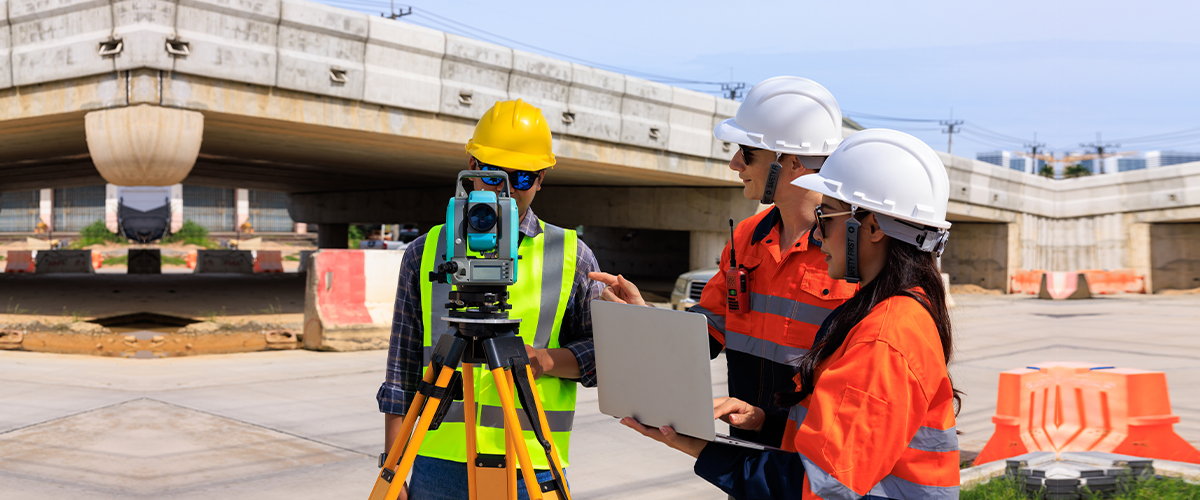
The Process: How 3D Laser Scanning Works With Us
- Project definition & planning: We meet to understand your deliverables, site access, scan resolution, output format and integration requirements.
- On-site scanning: Our survey team uses high-precision terrestrial laser scanners to capture the site. We manage logistics, safety and equipment setup.
- Data registration & processing: The point cloud data is cleaned, aligned (registered) and geo-referenced to form a coherent dataset.
- Deliverable creation: Depending on your needs, we generate 2D drawings, 3D models (BIM or CAD), volumetric reports, or digital twin files.
- Quality assurance & delivery: Final deliverables reviewed, verified and handed over in your chosen format.
- Integration & support: We assist you in integrating the deliverables into your workflows (design teams, construction teams, asset management).