Marine surveys cover a wide spectrum of specialized studies, each serving a distinct purpose in offshore and coastal projects. From mapping seabed depths and charting underwater features to analyzing subsurface geology and monitoring ocean currents, these surveys provide essential data that drive safe navigation, engineering design, and sustainable development. Below, we explore the key types of marine surveys offered by Accurate Survey and their applications.
Our geophysical surveys deliver detailed subsurface and seabed characterization, supporting both engineering design and construction. By combining advanced sonar systems with expert interpretation, we provide insights into soil conditions, sediment structures, and buried features. Applications: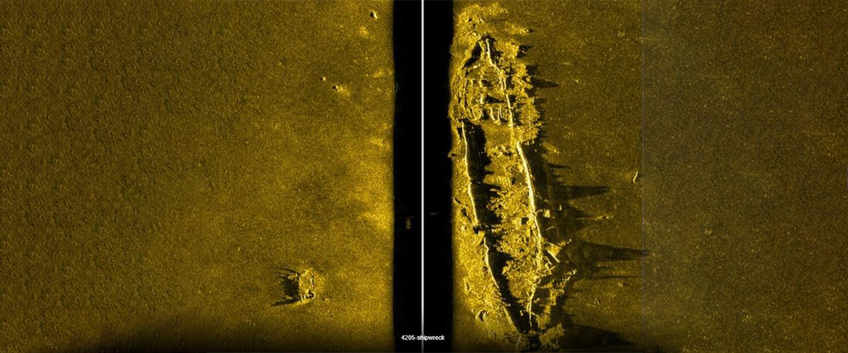

These measurements are integral to offshore wind farms, port developments, and marine infrastructure projects.
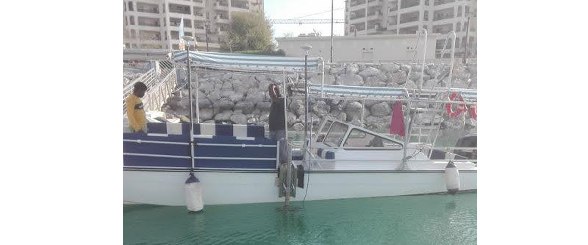
Hydrographic Surveys
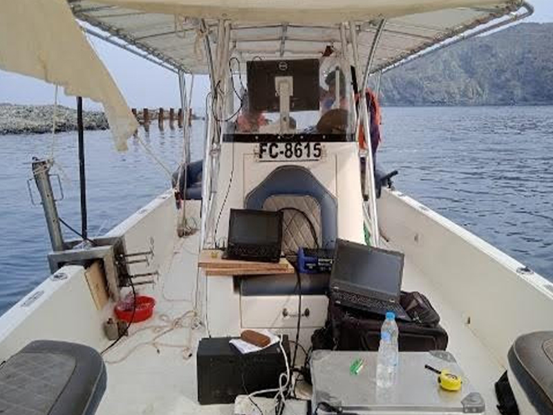
Hydrographic surveys form the foundation of marine mapping and are conducted in line with International Hydrographic Organization (IHO) standards. At Accurate Survey, we deploy advanced systems to capture accurate seabed data for navigation, engineering, and design applications. Our Hydrographic Services Include:- Mapping water depths and underwater topography with high-resolution 3D imaging.
- Seafloor charting using Side Scan Sonar (SSS) to create detailed images.
- Below seabed profiling with sub-bottom profilers to analyze sediment layers and subsurface geology.
- Detection of natural and man-made features such as debris, shipwrecks, unexploded ordnance (UXO), subsea structures, and coral reefs.
- Pre- and post-engineering surveys for marine infrastructure.
- Pipeline and cable route investigations.
- Dredging support for ports, harbors, and coastal infrastructure development.
Bathymetric Surveys
As a specialized branch of hydrography, bathymetric surveys focus exclusively on water depth and seabed topography. Using Differential GPS/GNSS positioning systems, we deliver precision mapping that supports dredging, harbor expansion, and nearshore development projects. Capabilities Include:- Singlebeam and Multibeam Echo Sounder (SBES/MBES) surveys for accurate depth measurements.
- Beach profiling to assess shoreline dynamics.
- Tidal observations to support coastal engineering.
- Seabed sampling for material characterization.
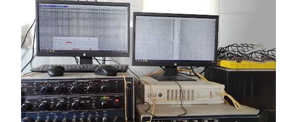
Geophysical Surveys
Our geophysical surveys deliver detailed subsurface and seabed characterization, supporting both engineering design and construction. By combining advanced sonar systems with expert interpretation, we provide insights into soil conditions, sediment structures, and buried features. Applications:
- Pipeline and cable route assessments.
- Trenching and dredging operations.
- Port development planning.
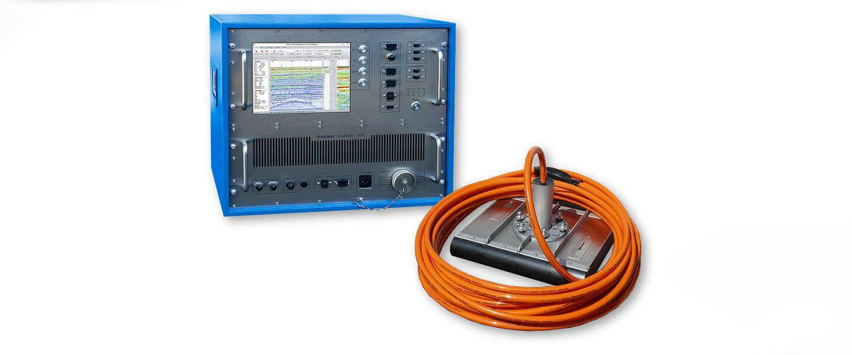
- Side Scan Sonar surveys and mosaicking for high-resolution imagery.
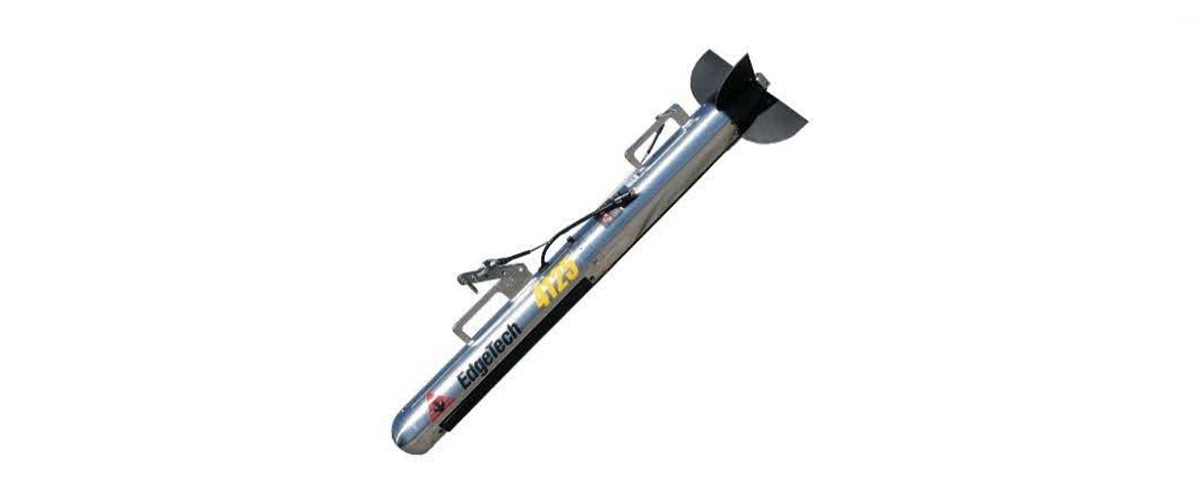
- Edgetech 4125 Series Side Scan Sonar (SSS) for detailed seafloor imagery.
- Sub-bottom Profiling Systems (SBP) to visualize sediment and rock layers beneath the seabed.
- Geometrics G-882 Marine Magnetometer to detect ferrous objects and support archaeological or safety investigations.
Oceanographic Measurements
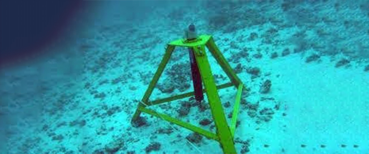
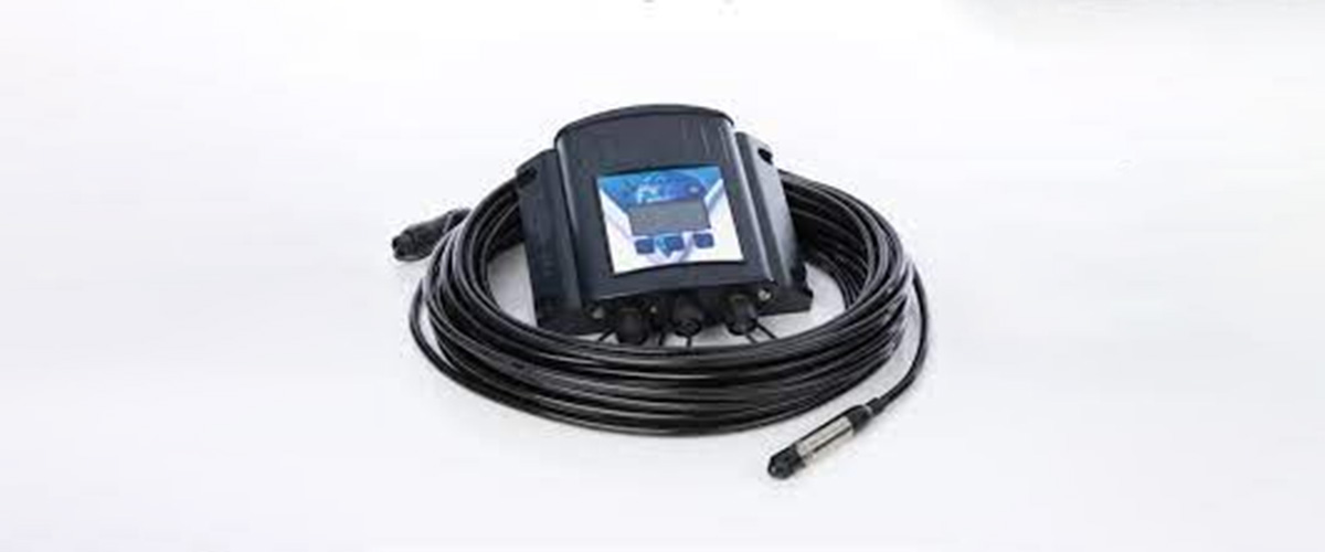
Understanding oceanographic conditions is vital for offshore operations, construction safety, and long-term coastal management. We offer a range of services that measure and analyze hydrodynamic forces. Our Capabilities Include:- Acoustic Doppler Current Profiler (ADCP) and current meter observations to study flow patterns.
- Tide gauges for precise tidal data monitoring.
These measurements are integral to offshore wind farms, port developments, and marine infrastructure projects.
Nearshore Geotechnical Investigations
Marine construction demands accurate knowledge of soil and rock conditions beneath the seabed. Our nearshore geotechnical surveys deliver essential data for the design, engineering, and installation of coastal and offshore structures. Services Include:- Barge-mounted rigs for shallow water drilling.
- Soil and rock sampling with detailed logging.
- Groundwater and water sampling for environmental analysis.
- In-situ testing to assess strength and stability.
Why Choose Accurate Survey?
- State-of-the-art technology: Multibeam, singlebeam, sonar, and geotechnical rigs.
- Expert teams with experience in offshore and coastal engineering.
- Comprehensive solutions: From seabed mapping to subsurface analysis.
- Commitment to innovation: Expanding our services to deliver integrated, tailored solutions.