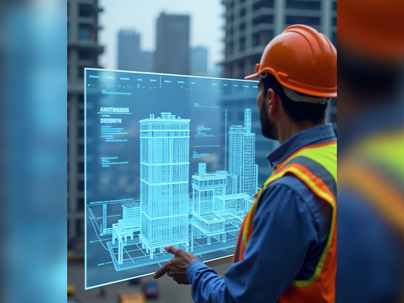
News Blogs

Hydrographic Surveying

Hydrography Survey Methodology and Significance

Hydrographic or bathymetric surveying involves mapping and measuring the physical features found beneath water surfaces. It focuses on gathering data about underwater conditions that influence marine activities such as dredging, offshore construction, and drilling. Typically conducted under regulatory authorities, Hydrographic surveying is primarily performed using sensors, sounding techniques, or electronic systems, especially in shallow waters. […]
Read more
A Topographic Surveyor

Topographical Survey: The First Step to a Successful Project

A topographical survey might sound technical, but its purpose is simple: to map the natural and man-made features of a piece of land. Whether you’re planning construction, landscaping, or development, this type of survey gives you the detailed information you need to move forward confidently. At Accurate survey, we’ve been helping clients understand their land. […]
Read more
3D Laser Scanning

Traditional Surveying vs. 3D Laser Scanning: A Comparative Analysis

In the evolving world of construction, infrastructure, and land development, precision is everything. Surveying is the foundation of all successful projects. Traditionally, land and building surveys were conducted using manual tools and optical instruments. But today, technology has transformed the landscape with the advent of 3D Laser Scanning Services in the UAE. So, how does […]
Read more
A team of construction surveyors

Importance of Surveying in Construction: Insights from Accurate Survey

Surveying is the foundation of all successful building projects. From identifying land boundaries to ensuring precise structural alignment, surveying plays a critical role in minimizing errors, saving costs, and guaranteeing safety. In a rapidly developing region like the UAE, especially in Abu Dhabi, working with experienced and reliable survey companies is essential for delivering high-quality […]
Read more
Shopping Cart (0 items)