

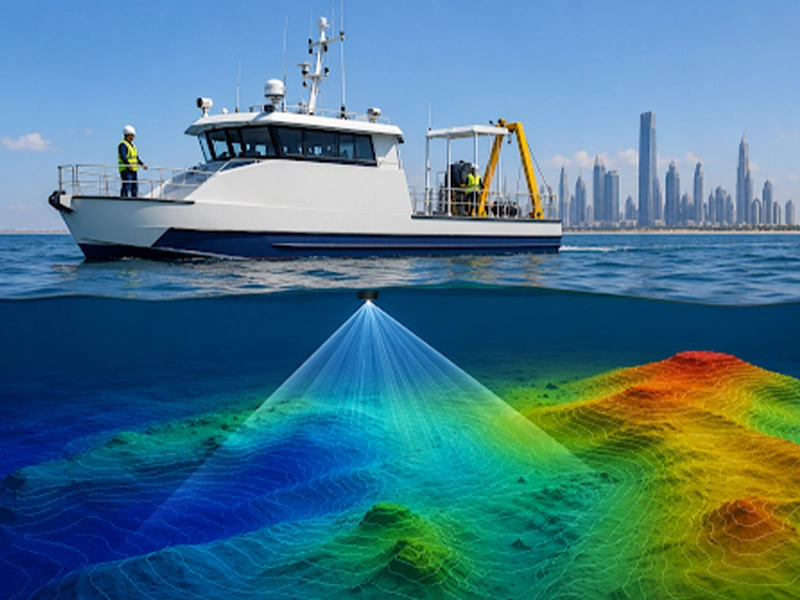
Whether the survey supports dredging, marine construction, coastal engineering, environmental monitoring, reservoir management, or offshore infrastructure development, understanding the typical project timeline helps stakeholders plan resources, coordinate activities, and establish realistic expectations.
This guide explains the different stages of a bathymetric survey, the factors that influence project duration, and how careful planning can help ensure timely and reliable survey results.
Several factors contribute to the duration of a bathymetric survey, including:
Rather than focusing only on the time spent collecting depth measurements, it is helpful to consider the entire survey workflow, as each stage contributes to the quality and reliability of the final deliverables.
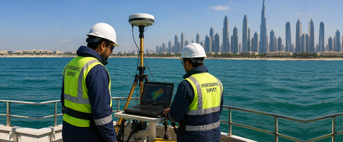
A professional bathymetric survey typically consists of several interconnected stages. While the field survey often receives the most attention, it represents only one part of the overall project.
The typical workflow includes:
Planning may also include obtaining permits, reviewing client specifications, preparing risk assessments, and scheduling the survey to account for weather forecasts, tidal conditions, and vessel availability.
A well-planned survey helps minimise delays and ensures that the collected data meets the project’s technical requirements.
Depending on the survey scope, this may involve:
Using technologies such as single-beam or multibeam echo sounders, survey teams record water depths while simultaneously capturing accurate positioning information. Depending on project requirements, additional observations such as tide or water-level measurements and sound velocity profiles may also be collected to support accurate data processing.
The time required for fieldwork depends on factors such as the size of the survey area, survey line spacing, vessel speed, water depth, environmental conditions, and the required level of detail.
While some surveys can be completed within a day, larger marine or offshore projects may require multiple survey sessions to achieve the required coverage and data quality.
This stage may involve applying positioning corrections, water-level corrections, sound velocity adjustments, vessel motion compensation, and filtering out invalid or anomalous soundings. The processed data is then reviewed through quality-control procedures before being converted into bathymetric surfaces, contour maps, digital terrain models, and other project deliverables.
For engineering and marine infrastructure projects, thorough data processing is essential to ensure the final survey accurately reflects underwater conditions.
Below are some of the primary factors that influence how long a bathymetric survey may take.
However, project size should not be considered in isolation. A relatively small survey area requiring high-resolution data for engineering design may take longer than a larger area surveyed for preliminary planning purposes.
Survey coverage should always be designed according to the project’s objectives rather than simply the physical size of the site.
Shallow water environments may require slower vessel speeds, smaller survey platforms, or specialised equipment to safely access the survey area. In contrast, deeper offshore environments often involve different survey methodologies and vessel configurations.
Site conditions can also affect the survey schedule. Factors such as submerged structures, narrow navigation channels, dense marine traffic, restricted access zones, or temporary construction activities may require survey teams to adjust their operations or collect data in multiple stages.
Careful planning helps minimise these challenges while maintaining data quality and operational safety.
Bathymetric surveys may be undertaken for a wide range of applications, including:
Projects requiring higher levels of detail generally involve additional planning, denser data collection, and more extensive quality-control procedures.
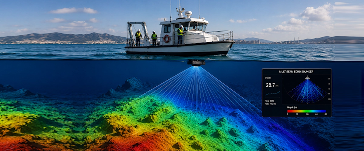
The technology used during data acquisition also influences survey efficiency.
For example, single-beam echo sounders record depth measurements directly beneath the survey vessel, making them suitable for many surveying applications where systematic line coverage is appropriate.
Multibeam echo sounders, on the other hand, collect thousands of depth measurements across a wide swath of the seabed during each survey pass. This allows significantly greater coverage and supports the creation of highly detailed digital terrain models.
Additional technologies such as GNSS positioning systems, motion sensors, sound velocity profilers, and tide monitoring equipment also contribute to survey accuracy and influence both fieldwork and processing requirements.
Selecting the appropriate combination of technologies helps ensure the survey is completed efficiently while meeting project specifications.
Weather can directly affect both safety and data quality.
Factors that may influence survey scheduling include:
For this reason, survey schedules often remain flexible to take advantage of suitable weather windows, particularly for coastal and offshore projects.
A reconnaissance survey intended to provide general seabed information may not require the same level of detail as a survey supporting precision marine construction or dredging operations.
Higher accuracy requirements often involve:
These durations are provided for general guidance only. Actual project schedules depend on survey scope, site conditions, technical requirements, and client specifications.
For larger marine infrastructure or offshore developments, survey programmes may be phased over several weeks or months.
For example, a relatively small marina requiring detailed multibeam coverage, high-density data, and multiple engineering deliverables may take longer to complete than a much larger reservoir survey with less demanding accuracy requirements.
Similarly, projects involving repeat surveys, dredging verification, or complex underwater structures may require additional quality-control procedures and data validation before the results can be finalised.
Rather than estimating project duration based solely on the survey area, experienced hydrographic surveyors evaluate the complete project scope, technical specifications, site conditions, and required deliverables before preparing a realistic survey schedule.
The time required for data processing depends on factors such as the volume of collected data, the survey methodology, project specifications, and the complexity of the underwater environment.
Typical processing activities may include:
For projects requiring comprehensive technical documentation, report preparation can take several days after data processing has been completed.
Providing complete project information at the planning stage allows surveyors to select the most appropriate methodology, equipment, and deliverables while reducing the likelihood of delays during execution.
Before commencing a bathymetric survey, clients should ideally provide:
These examples are intended as general guidance rather than fixed timelines. The actual duration depends on the survey area, project objectives, environmental conditions, and client requirements.
Unlike many land-based surveys, hydrographic surveys rely on vessels operating safely while collecting precise underwater measurements. Strong winds, rough seas, heavy rainfall, and high waves can reduce data quality or temporarily prevent survey operations.
Tidal conditions may also influence scheduling, particularly in coastal environments where surveys need to be conducted within specific water-level windows.
Experienced survey teams avoid collecting data in unsuitable conditions by monitoring weather forecasts and adjusting survey schedules to ensure safety and data quality.
This approach helps ensure the completed survey meets the required technical standards while maintaining data accuracy.
At Accurate Survey Engineering, we provide professional bathymetry and hydrographic survey services for marine, coastal, and inland water projects across the UAE. Our team combines modern survey technologies, precise GNSS positioning systems, advanced data processing, and rigorous quality-control procedures to deliver dependable survey information tailored to each project’s requirements.
Our bathymetric survey solutions support a wide range of applications, including:
Whether your project requires a single-beam or multibeam bathymetric survey, our focus is on delivering accurate, well-documented, and engineering-ready survey data that supports planning, design, construction, environmental assessment, and long-term asset management.
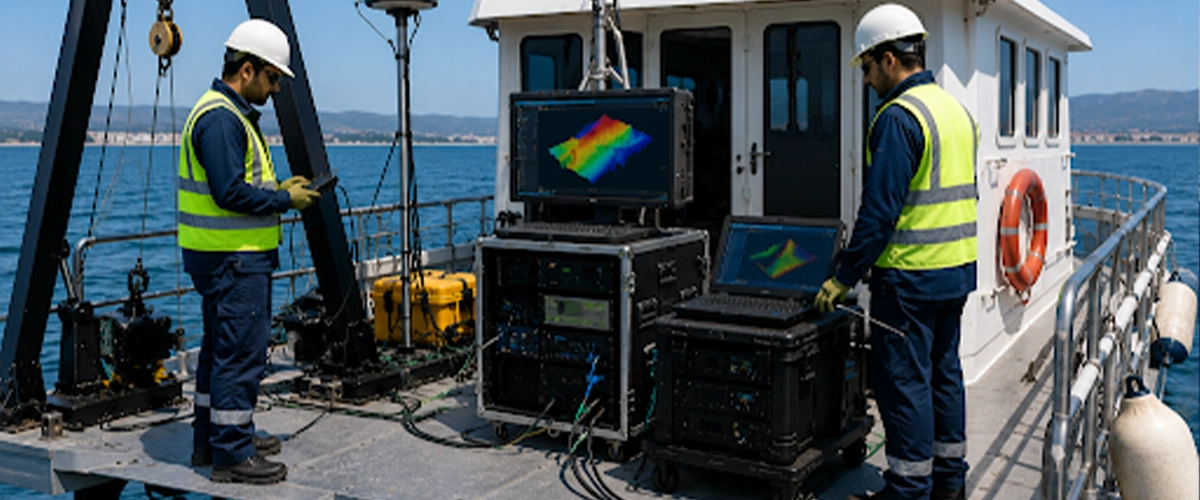
The time required for a bathymetry survey depends on factors such as the survey area, project objectives, site conditions, equipment, and the required deliverables. While some surveys can be completed within a day, larger or more complex projects may require additional time for data acquisition, processing, quality control, and report preparation.
By defining project requirements early and working with an experienced bathymetric survey company, stakeholders can ensure efficient project execution and receive reliable survey data that supports informed engineering, marine, and environmental decisions.
This guide explains the different stages of a bathymetric survey, the factors that influence project duration, and how careful planning can help ensure timely and reliable survey results.
What Determines the Duration of a Bathymetry Survey?
There is no standard timeframe that applies to every bathymetric survey. Each project has unique requirements that influence the overall schedule, from initial planning through to the delivery of processed survey data.hSeveral factors contribute to the duration of a bathymetric survey, including:
- Survey area and project size
- Water depth and environmental conditions
- Required survey accuracy
- Survey objectives
- Type of hydrographic equipment used
- Data density requirements
- Weather and tidal conditions
- Data processing and quality control
- Required deliverables and reporting
Rather than focusing only on the time spent collecting depth measurements, it is helpful to consider the entire survey workflow, as each stage contributes to the quality and reliability of the final deliverables.
Understanding the Typical Bathymetry Survey Workflow
A professional bathymetric survey typically consists of several interconnected stages. While the field survey often receives the most attention, it represents only one part of the overall project.
The typical workflow includes:
1. Project Planning
Every successful bathymetric survey begins with careful planning. During this stage, surveyors review the project objectives, study available site information, determine the required survey coverage, identify suitable survey equipment, and establish the appropriate horizontal and vertical reference systems.Planning may also include obtaining permits, reviewing client specifications, preparing risk assessments, and scheduling the survey to account for weather forecasts, tidal conditions, and vessel availability.
A well-planned survey helps minimise delays and ensures that the collected data meets the project’s technical requirements.
2. Mobilisation and Equipment Preparation
Before fieldwork begins, survey equipment is prepared, inspected, and configured for the project.Depending on the survey scope, this may involve:
- Preparing the survey vessel
- Installing hydrographic survey equipment
- Configuring GNSS positioning systems
- Verifying motion sensors
- Testing echo sounders
- Checking communication systems
- Confirming calibration requirements
3. Field Data Collection
Fieldwork is the stage where bathymetric measurements are collected across the survey area.Using technologies such as single-beam or multibeam echo sounders, survey teams record water depths while simultaneously capturing accurate positioning information. Depending on project requirements, additional observations such as tide or water-level measurements and sound velocity profiles may also be collected to support accurate data processing.
The time required for fieldwork depends on factors such as the size of the survey area, survey line spacing, vessel speed, water depth, environmental conditions, and the required level of detail.
While some surveys can be completed within a day, larger marine or offshore projects may require multiple survey sessions to achieve the required coverage and data quality.
4. Data Processing and Quality Control
Collecting bathymetric data is only the beginning of the process. Once fieldwork is complete, the recorded measurements undergo detailed processing to produce reliable and usable survey outputs.This stage may involve applying positioning corrections, water-level corrections, sound velocity adjustments, vessel motion compensation, and filtering out invalid or anomalous soundings. The processed data is then reviewed through quality-control procedures before being converted into bathymetric surfaces, contour maps, digital terrain models, and other project deliverables.
For engineering and marine infrastructure projects, thorough data processing is essential to ensure the final survey accurately reflects underwater conditions.
What Factors Affect the Duration of a Bathymetry Survey?
Every bathymetric survey is unique, and project timelines can vary significantly depending on technical requirements and site conditions. While two surveys may cover areas of a similar size, differences in project objectives, environmental conditions, and data requirements can result in very different completion times.Below are some of the primary factors that influence how long a bathymetric survey may take.
1. Survey Area and Project Size
The size of the survey area is one of the most obvious factors affecting project duration. Larger areas generally require more survey lines, increased vessel movement, and additional data collection, which naturally extends the time required for fieldwork.However, project size should not be considered in isolation. A relatively small survey area requiring high-resolution data for engineering design may take longer than a larger area surveyed for preliminary planning purposes.
Survey coverage should always be designed according to the project’s objectives rather than simply the physical size of the site.
2. Water Depth and Site Conditions
Water depth can also influence survey productivity.Shallow water environments may require slower vessel speeds, smaller survey platforms, or specialised equipment to safely access the survey area. In contrast, deeper offshore environments often involve different survey methodologies and vessel configurations.
Site conditions can also affect the survey schedule. Factors such as submerged structures, narrow navigation channels, dense marine traffic, restricted access zones, or temporary construction activities may require survey teams to adjust their operations or collect data in multiple stages.
Careful planning helps minimise these challenges while maintaining data quality and operational safety.
3. Survey Objectives
The purpose of the survey plays a significant role in determining the overall project timeline.Bathymetric surveys may be undertaken for a wide range of applications, including:
- Dredging projects
- Port and harbour development
- Marine construction
- Offshore infrastructure
- Coastal engineering
- Environmental monitoring
- Reservoir management
- Pipeline and cable route investigations
Projects requiring higher levels of detail generally involve additional planning, denser data collection, and more extensive quality-control procedures.
4. Survey Equipment and Technology
The technology used during data acquisition also influences survey efficiency.
For example, single-beam echo sounders record depth measurements directly beneath the survey vessel, making them suitable for many surveying applications where systematic line coverage is appropriate.
Multibeam echo sounders, on the other hand, collect thousands of depth measurements across a wide swath of the seabed during each survey pass. This allows significantly greater coverage and supports the creation of highly detailed digital terrain models.
Additional technologies such as GNSS positioning systems, motion sensors, sound velocity profilers, and tide monitoring equipment also contribute to survey accuracy and influence both fieldwork and processing requirements.
Selecting the appropriate combination of technologies helps ensure the survey is completed efficiently while meeting project specifications.
5. Weather and Environmental Conditions
Unlike many land surveys, bathymetric surveys are highly influenced by environmental conditions.Weather can directly affect both safety and data quality.
Factors that may influence survey scheduling include:
- Wind conditions
- Wave height
- Water currents
- Tidal changes
- Rainfall
- Reduced visibility
- Vessel movement
For this reason, survey schedules often remain flexible to take advantage of suitable weather windows, particularly for coastal and offshore projects.
6. Required Accuracy and Data Density
Different projects require different levels of accuracy.A reconnaissance survey intended to provide general seabed information may not require the same level of detail as a survey supporting precision marine construction or dredging operations.
Higher accuracy requirements often involve:
- Closer survey line spacing
- Increased data density
- Additional calibration procedures
- More extensive quality checks
- Longer data processing
Typical Timeline of a Bathymetry Survey Project
While every project differs, a professional bathymetric survey generally follows a structured sequence of activities. The table below provides an indicative timeline for each stage of a typical survey project.| Project Stage | Typical Duration |
|---|---|
| Project planning and preparation | 1–3 days |
| Equipment mobilisation | 1–2 days |
| Field data collection | 1 day to several weeks |
| Data processing | 2–5 days |
| Quality control and validation | 1–3 days |
| Report preparation | 2–5 days |
| Final deliverables | 1 day |
For larger marine infrastructure or offshore developments, survey programmes may be phased over several weeks or months.
Do Larger Projects Always Take Longer?
Not necessarily. While larger survey areas generally require more time, project complexity often has a greater influence on the overall schedule than size alone.For example, a relatively small marina requiring detailed multibeam coverage, high-density data, and multiple engineering deliverables may take longer to complete than a much larger reservoir survey with less demanding accuracy requirements.
Similarly, projects involving repeat surveys, dredging verification, or complex underwater structures may require additional quality-control procedures and data validation before the results can be finalised.
Rather than estimating project duration based solely on the survey area, experienced hydrographic surveyors evaluate the complete project scope, technical specifications, site conditions, and required deliverables before preparing a realistic survey schedule.
How Long Does Bathymetric Data Processing Take?
Completing the field survey is only one stage of a bathymetric survey project. Before the collected information can be used for engineering design, dredging assessments, environmental studies, or marine construction, it typically undergoes detailed processing and quality control.The time required for data processing depends on factors such as the volume of collected data, the survey methodology, project specifications, and the complexity of the underwater environment.
Typical processing activities may include:
- Reviewing raw survey data
- Applying GNSS positioning corrections
- Applying tide or water-level corrections
- Applying sound velocity corrections
- Accounting for vessel motion
- Removing erroneous or anomalous soundings
- Validating overlapping survey lines
- Generating bathymetric surfaces
- Creating contour maps and depth models
- Performing quality-control checks
Preparing the Final Bathymetry Survey Deliverables
Once processing and quality-control procedures have been completed, the survey information is prepared in the formats required by the client. Depending on the project scope, the final deliverables may include:- Bathymetric survey report
- Bathymetric contour plans
- Depth maps
- Digital Terrain Models (DTMs)
- XYZ bathymetric datasets
- CAD drawings
- GIS-compatible files
- Longitudinal profiles
- Cross-sections
- Processed hydrographic data
For projects requiring comprehensive technical documentation, report preparation can take several days after data processing has been completed.
How Can Clients Help Keep a Bathymetry Survey on Schedule?
Efficient project delivery depends not only on the survey team but also on effective communication before fieldwork begins.Providing complete project information at the planning stage allows surveyors to select the most appropriate methodology, equipment, and deliverables while reducing the likelihood of delays during execution.
Before commencing a bathymetric survey, clients should ideally provide:
- Project objectives
- Survey boundary
- Required survey area
- Horizontal coordinate reference system
- Vertical datum requirements
- Required accuracy
- Expected deliverables
- Preferred CAD or GIS formats
- Existing survey information, where available
- Site access requirements
- Marine permits or operational restrictions
Typical Bathymetry Survey Timelines for Different Projects
Although every project has unique requirements, the table below provides a general indication of how survey durations may vary across different applications.| Project Type | Typical Survey Duration |
|---|---|
| Marina Survey | 1–3 days |
| Reservoir Survey | 2–5 days |
| River or Canal Survey | Several days |
| Pre-Dredging Survey | Several days to two weeks |
| Post-Dredging Verification Survey | 1–5 days |
| Port and Harbour Survey | One to several weeks |
| Offshore Pipeline Survey | Several weeks |
| Environmental Monitoring Survey | 1–5 days |
Can Weather Delay a Bathymetry Survey?
Yes. Weather conditions are one of the most common factors affecting bathymetric survey schedules.Unlike many land-based surveys, hydrographic surveys rely on vessels operating safely while collecting precise underwater measurements. Strong winds, rough seas, heavy rainfall, and high waves can reduce data quality or temporarily prevent survey operations.
Tidal conditions may also influence scheduling, particularly in coastal environments where surveys need to be conducted within specific water-level windows.
Experienced survey teams avoid collecting data in unsuitable conditions by monitoring weather forecasts and adjusting survey schedules to ensure safety and data quality.
This approach helps ensure the completed survey meets the required technical standards while maintaining data accuracy.
Why Choose Accurate Survey Engineering for Bathymetry Surveys?
The success of a bathymetry survey depends not only on collecting accurate depth measurements but also on careful planning, the right survey methodology, advanced hydrographic equipment, and comprehensive data processing. Choosing an experienced survey partner helps ensure reliable results that support confident engineering and project decisions.At Accurate Survey Engineering, we provide professional bathymetry and hydrographic survey services for marine, coastal, and inland water projects across the UAE. Our team combines modern survey technologies, precise GNSS positioning systems, advanced data processing, and rigorous quality-control procedures to deliver dependable survey information tailored to each project’s requirements.
Our bathymetric survey solutions support a wide range of applications, including:
- Marine and coastal developments
- Ports and harbour infrastructure
- Dredging projects
- Reservoirs and inland waterways
- Offshore pipelines and subsea cables
- Environmental monitoring programmes
- Coastal protection projects
- Infrastructure and engineering developments
Whether your project requires a single-beam or multibeam bathymetric survey, our focus is on delivering accurate, well-documented, and engineering-ready survey data that supports planning, design, construction, environmental assessment, and long-term asset management.
Conclusion
The time required for a bathymetry survey depends on factors such as the survey area, project objectives, site conditions, equipment, and the required deliverables. While some surveys can be completed within a day, larger or more complex projects may require additional time for data acquisition, processing, quality control, and report preparation.
By defining project requirements early and working with an experienced bathymetric survey company, stakeholders can ensure efficient project execution and receive reliable survey data that supports informed engineering, marine, and environmental decisions.